Our Tech
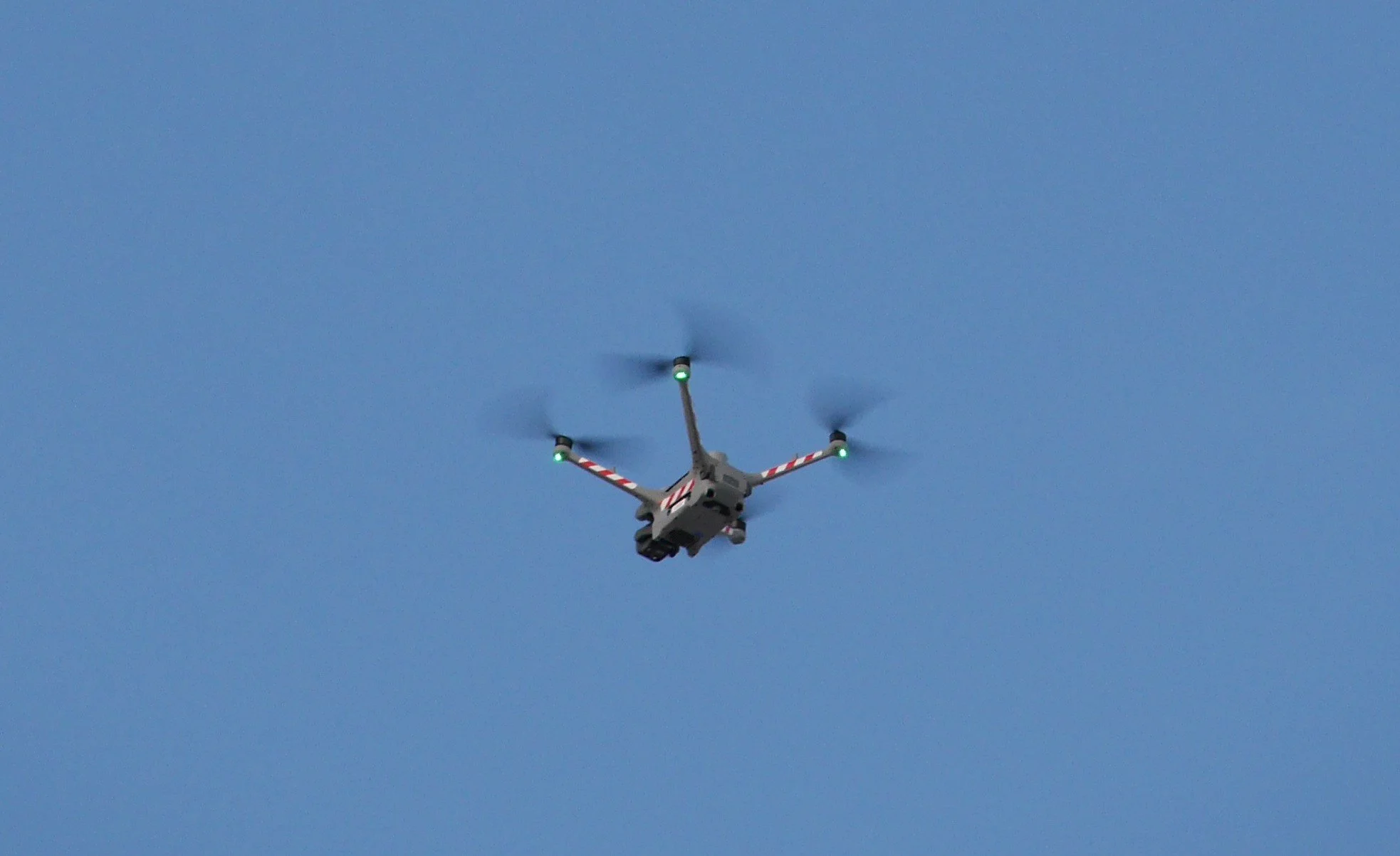
Every flight is powered by the DJI Matrice 4TD. A purpose-built enterprise platform designed for precision mapping, thermal analysis, and structural inspection.
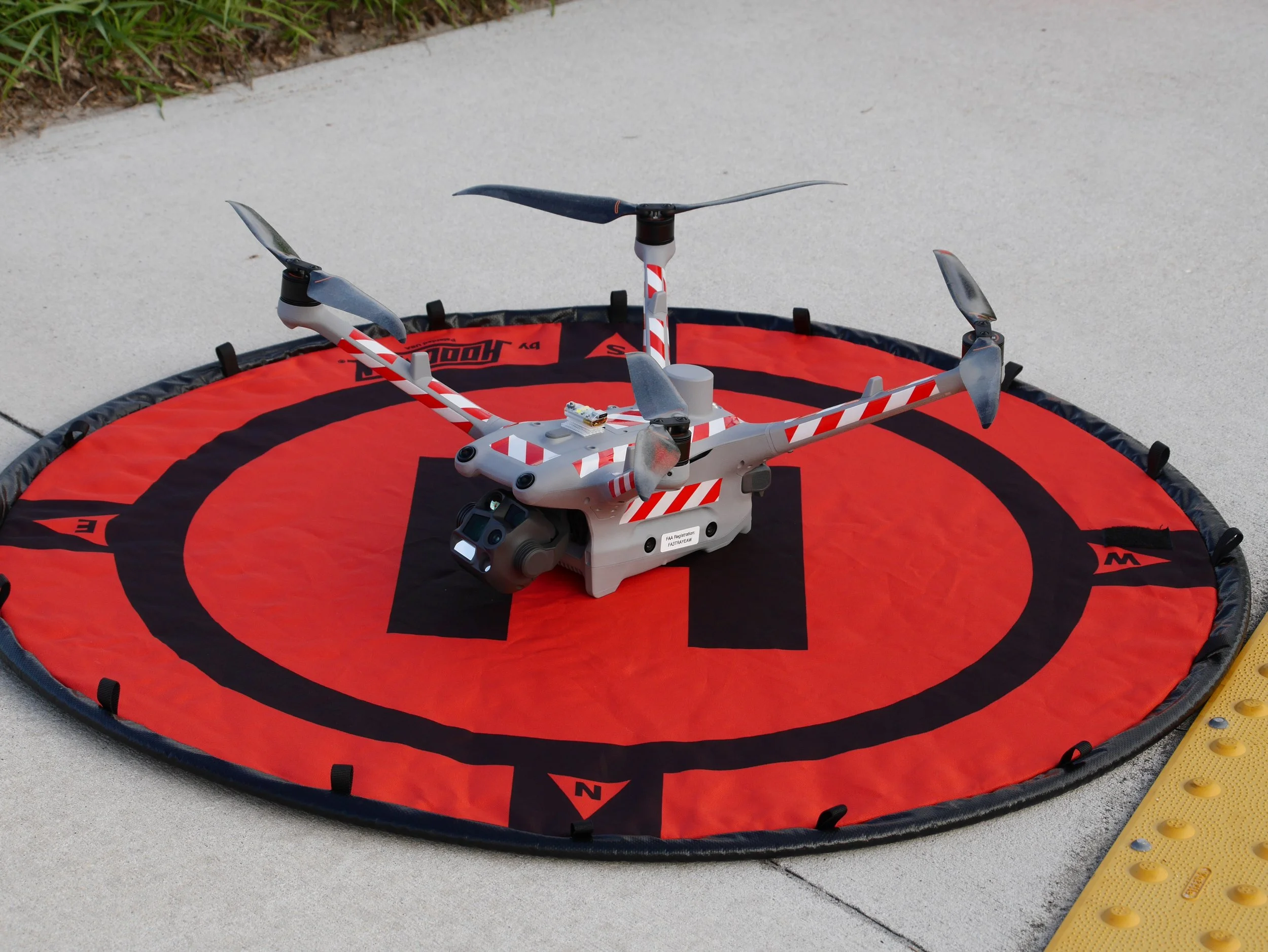
• IP55 Weather Rating: Dust and water-jet resistant. We fly when weather delays aren't an option.
• 54-Minute Max Flight Time: More time in the air means more coverage per battery, fewer interruptions, and faster project completion.
• Omnidirectional Obstacle Sensing: Binocular vision on all sides plus 3D infrared sensing. Safe operations around structures, equipment, and personnel.
• Laser Rangefinder: Pinpoint distance measurements up to 1,800 meters for accurate flight planning and documentation.
Quad-Sensor Camera System
One drone. Four cameras. Every angle covered.
• Wide: (48MP, 1/1.3")
• Medium Telephoto: (48MP, 70mm)
• Telephoto: (48MP, 112X Zoom)
• High-Res Thermal: (640×512, Super Res to 1280×1024, Radiometric R-JPEG, ≤50mK sensitivity)
80° Upward Gimbal Tilt
What other drones miss, we capture.
Most commercial drones can only point their cameras downward or straight ahead. The ones that do go further than level top out around +35°.
The Matrice 4TD's gimbal tilts from -90° all the way up to +80°, giving us the unique ability to capture what other model drones physically can’t.
• Soffits and Overhangs: Inspect the underside of roof lines, eaves, and canopies without scaffolding.
• Facade Details: Document architectural features, structural connections, and damage beneath ledges and balconies.
• Complete 3D Models: Eliminate the blind spots and holes that plague reconstructions from drones that can only look down/straight ahead.
RTK Precision Positioning
• Sub-cm horizontal accuracy
• Sub-cm vertical accuracy
• NAVD88 referenced elevations: The standard used by surveyors, engineers, and FEMA.
Proudly Serving:
Pasco, Hernando, Hillsborough and Pinellas Counties. For other areas, please inquire below.