Our Technology
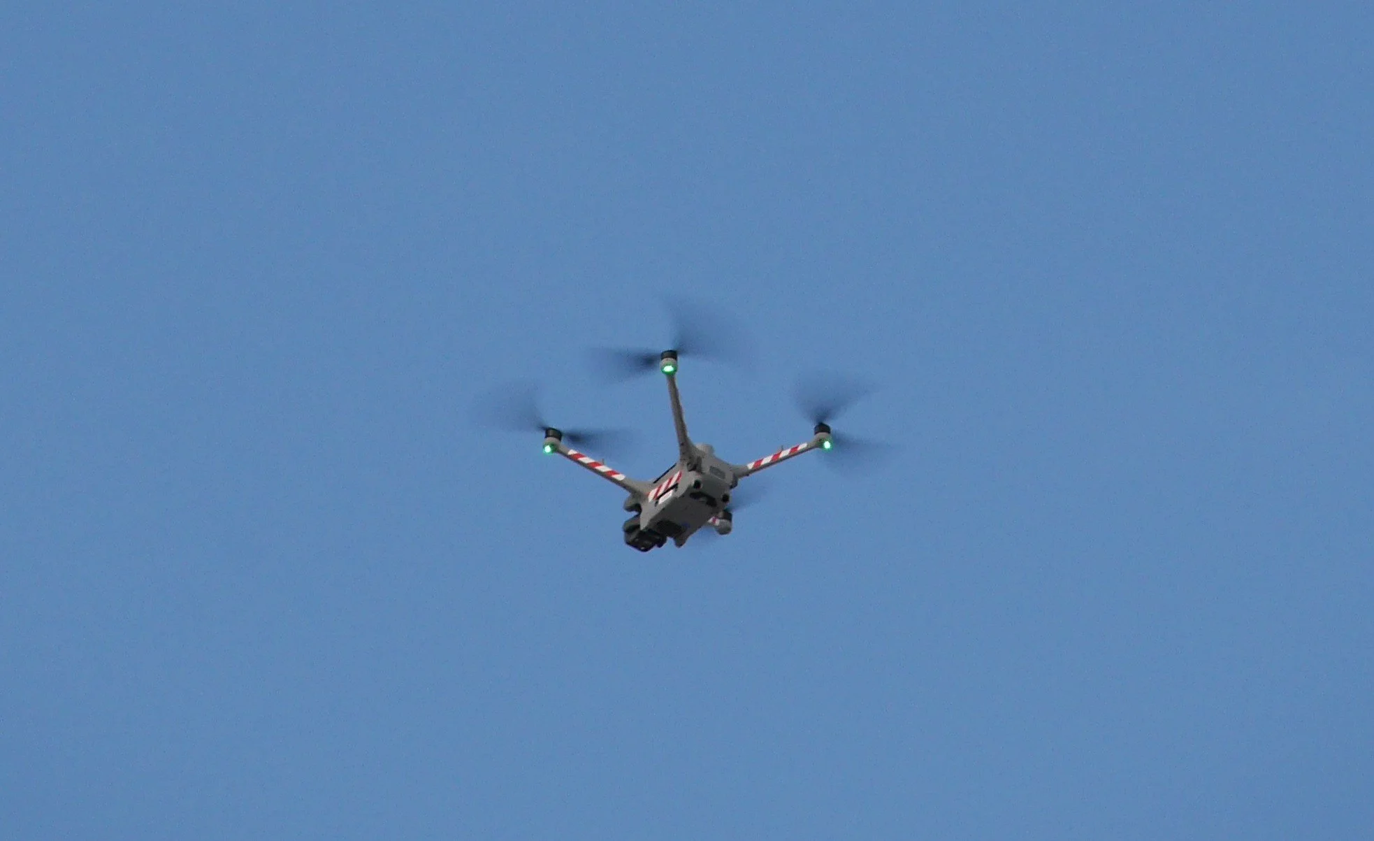
Every flight is powered by the DJI Matrice 4TD. A purpose-built enterprise platform designed for precision mapping, thermal analysis, and structural inspection.
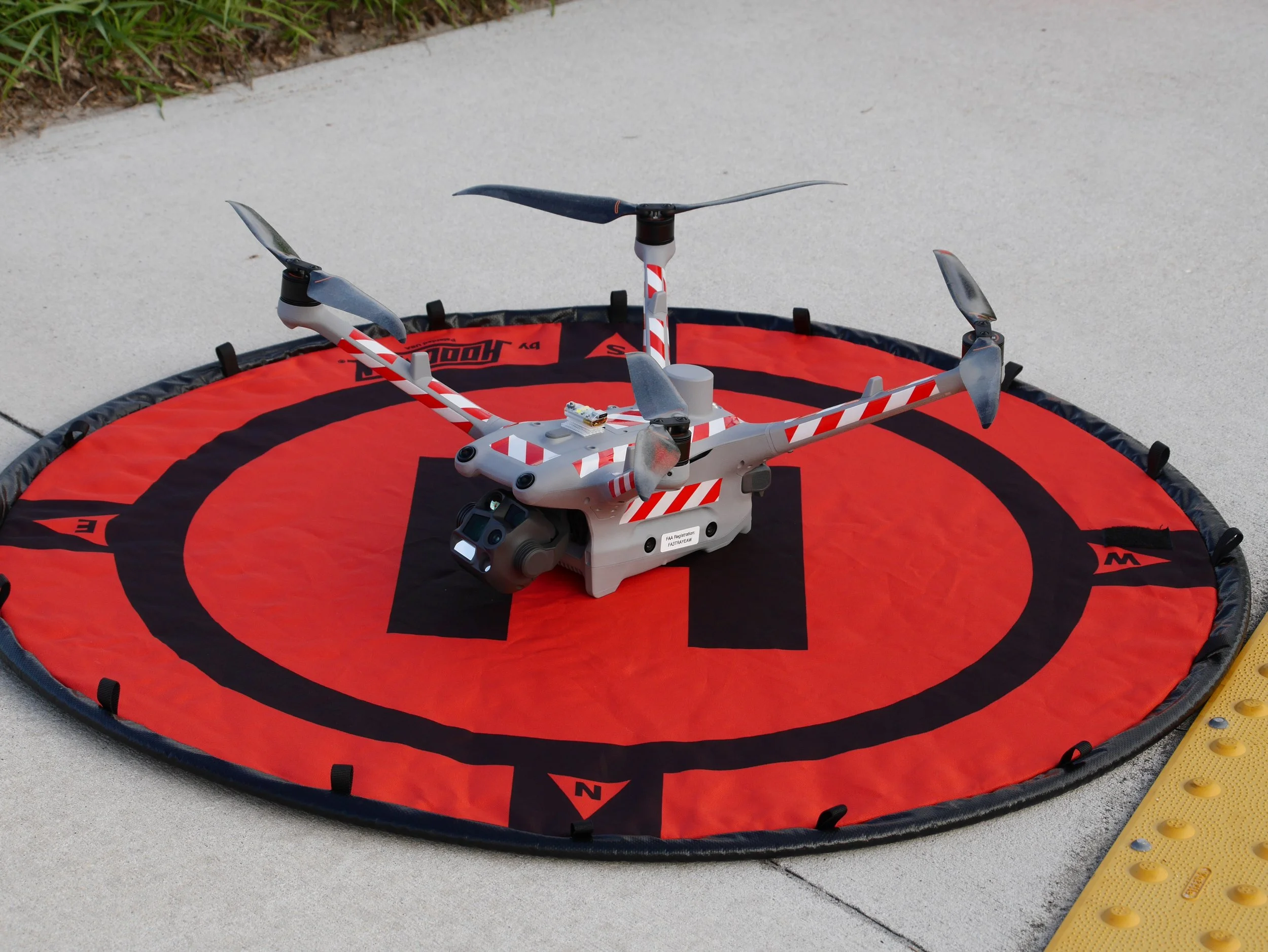
IP55 Weather Rating: Dust and water-jet resistant. We fly when weather delays aren't an option.
54-Minute Max Flight Time: More time in the air means more coverage per battery, fewer interruptions, and faster project completion.
Omnidirectional Obstacle Sensing: Binocular vision on all sides plus 3D infrared sensing. Safe operations around structures, equipment, and personnel.
Laser Rangefinder: Pinpoint distance measurements up to 1,800 meters for accurate flight planning and documentation.
Quad-Sensor Camera System
One drone. Four cameras. Every angle covered.
Wide: (48MP, 1/1.3")
Medium Telephoto: (48MP, 70mm)
Telephoto: (48MP, 112X Zoom)
High-Res Thermal: (640×512, Super Res to 1280×1024, Radiometric R-JPEG, ≤50mK sensitivity)
80° Upward Gimbal Tilt
What other drones miss, we capture.
Soffits and Overhangs: Inspect the underside of roof lines, eaves, and canopies without scaffolding.
Facade Details: Document architectural features, structural connections, and damage beneath ledges and balconies.
Complete 3D Models: Eliminate the blind spots and holes that plague reconstructions from drones that can only look down/straight ahead.
Most commercial drones can only point their cameras downward or straight ahead. The ones that do go further than level, top out around +35°.
The DJI Matrice 4TD's gimbal tilts from -90° all the way up to +80°, giving us the unique ability to capture what other model drones physically can’t.
Sub-cm horizontal accuracy
Sub-cm vertical accuracy
NAVD88 referenced elevations: The standard used by surveyors, engineers, and FEMA.
RTK Precision Positioning
Processing & Delivery - Powered by DroneDeploy
From raw data to actionable deliverables.
Every dataset we capture is processed through DroneDeploy's cloud-based mapping platform, the same software trusted by ENR Top 100 contractors and leading construction firms nationwide.
2D Orthomosaic Maps: Survey-grade aerial maps built from hundreds of overlapping images.
3D Site Models: Full three-dimensional reconstructions viewable from any angle.
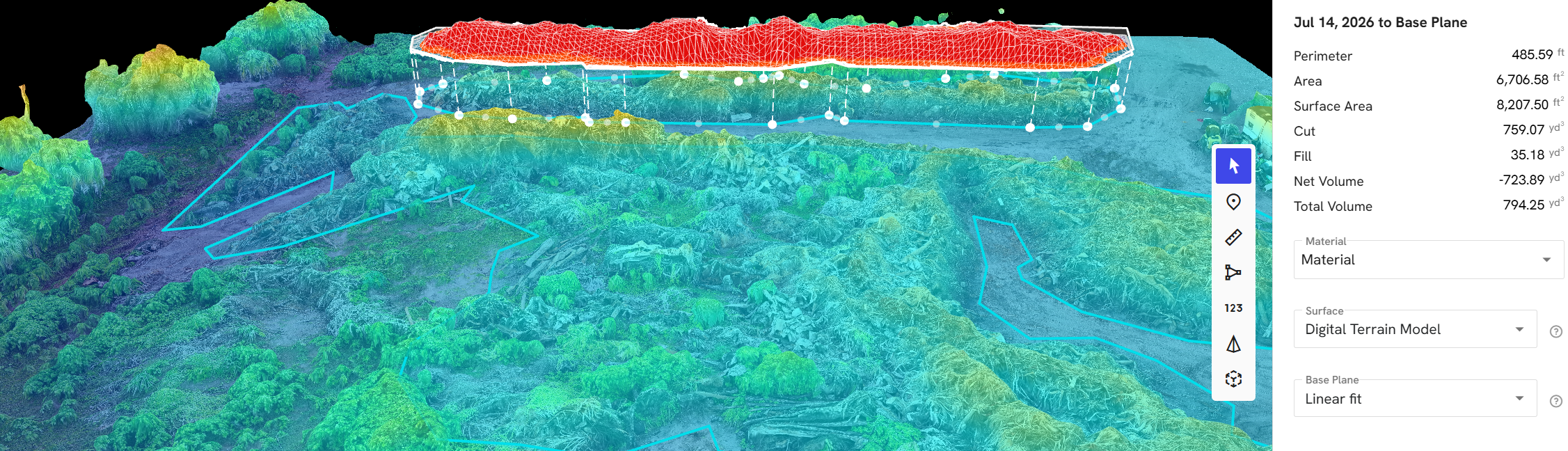
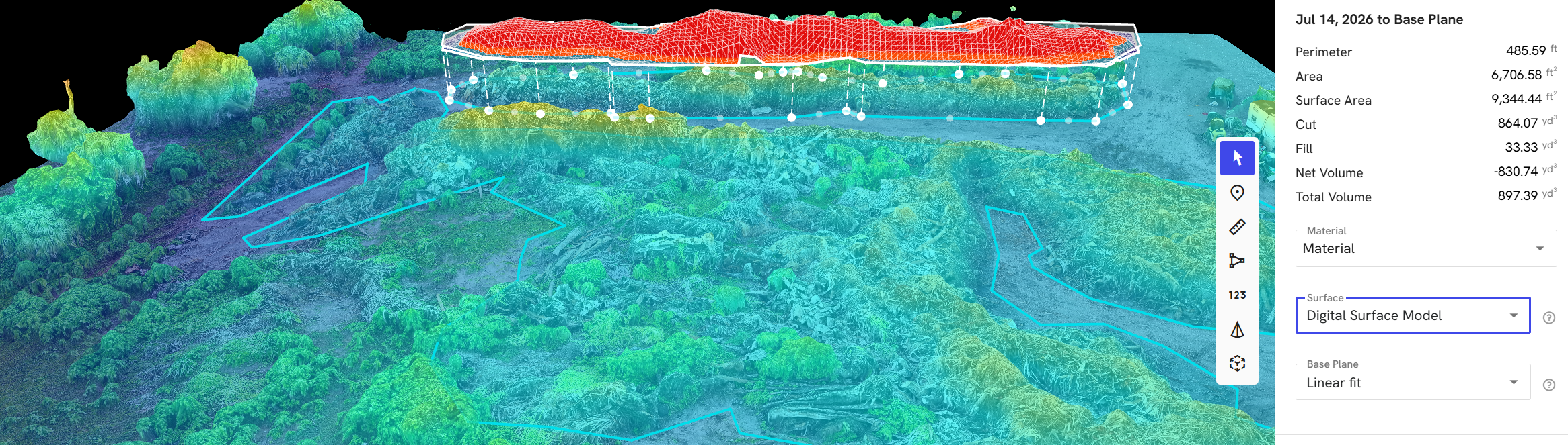
Elevation Models: DTM and DSM with cut/fill volume calculations.
Interactive Viewer Links: Your team gets a shareable link to explore the site from any device with no software to install, and no files to download.
Cloud Processing: Faster turnaround with enterprise-grade accuracy.
Proudly Serving:
Pasco, Hernando, Hillsborough and Pinellas Counties. For other areas, please inquire below.